
Article: Motor Yacht Range for Bahamas Crossings: Planning Guide
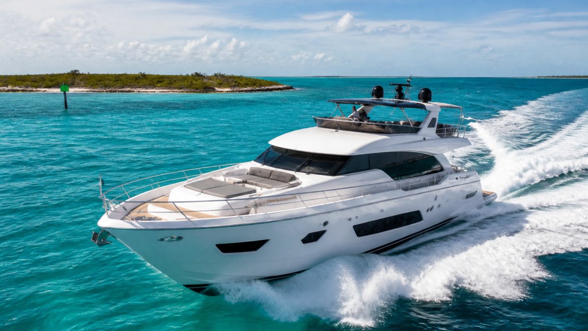
Motor Yacht Range for Bahamas Crossings: Planning Guide
Last Updated: November 3, 2026
Quick Summary
Motor yacht range for Bahamas crossings is the distance a yacht can cover on fuel while keeping a safety reserve. Plan from usable range, not the advertised figure, by holding back at least 25 percent of fuel for weather and detours. A Miami to Bimini run is about 50 nautical miles, while Exumas passages need staging.
- Subtract a reserve of at least 25 percent from total fuel before calculating usable range.
- Fuel burn rises steeply with speed, so faster cruising shortens your range.
- Miami to Bimini is about 50 nautical miles, a 2 to 3 hour passage.
- Miami to the Exumas is about 230 to 250 nautical miles, usually a multi-day passage.
- Set a go/no-go decision point and a diversion harbor before leaving the dock.
Table of Contents
- Why Motor Yacht Range Decides Your Bahamas Crossing
- Miami to Bimini Yacht Crossing: Distances and Routes
- Calculating Practical Range: Advertised Versus Usable
- Yacht Fuel Reserve Planning for Open-Water Passages
- Bahamas Crossing Weather and Sea Conditions
- Contingency Planning and the Go/No-Go Decision
- Choosing a Yacht for Your Bahamas Crossing Next Step
- Frequently Asked Questions
Why Motor Yacht Range Decides Your Bahamas Crossing
Planning a motor yacht range for Bahamas crossings starts with one question: can the boat reach the destination and return with a safe reserve? Range shapes which yachts suit a Miami departure and which routes make sense for a group.
The Florida Straits crossing from South Florida to the Bahamas is open water, and conditions can change within hours. A yacht with enough range on paper may still fall short once speed, sea state and fuel reserves are accounted for.
This guide walks through the distances, the fuel math and the planning steps that matter most. It also explains the questions to ask before choosing a yacht for the crossing.
Miami to Bimini Yacht Crossing: Distances and Routes
The Miami to Bimini yacht crossing is the shortest and most popular route from South Florida into the Bahamas, and it is the one most charter guests ask about first. Bimini sits roughly 50 nautical miles east of the Florida coast, which makes it a practical single-day run for a motor yacht with a sensible fuel reserve. Passage times depend on sea state and how the Gulf Stream sets the boat.
Bimini is not the only option, though, and the route you choose changes both the fuel math and the character of the trip. The table below compares the crossings most South Florida charter guests consider. Distances are approximate straight-line figures and should always be confirmed against current charts and your captain's routing before departure.
| Route | Approximate distance | Typical passage | Exposure and notes |
|---|---|---|---|
| Miami to Bimini | ~50 nm | 2-3 hours | Shortest crossing; open Florida Straits, Gulf Stream sets north |
| Fort Lauderdale to Bimini | ~50-55 nm | 2-3 hours | Similar to Miami; popular with larger motor yachts |
| Miami to Nassau | ~180 nm | 6-8 hours | Longer run; often split with an overnight at Bimini or the Berry Islands |
| Miami to the Berry Islands | ~150 nm | 5-7 hours | Good stepping stone toward Nassau and the Exumas |
| South Florida to the Abacos | ~180-200 nm | 7-9 hours | Northern route; more exposed, best in settled weather |
| Miami to the Exumas | ~230-250 nm | 9-12 hours | Multi-day passage; usually staged via Nassau or the Berries |
Distance is the first difference: a Bimini run is a day trip, while the Exumas are a multi-day commitment that shapes how much fuel, water, and provisions the yacht must carry.
Departure point matters as much as destination. Wherever you start, the shortest line on the chart is not always the fastest or most comfortable in a strong current. If you are weighing a Miami departure, our Miami Yacht Charters team can help match a route to your starting point and group.
Treating a Bimini day run and an Exumas passage as the same planning exercise is a common mistake. The Exumas require staging, overnight planning, and a fuel reserve sized for a multi-day itinerary, not a single hop.
Calculating Practical Range: Advertised Versus Usable
Advertised range is the figure a builder publishes, usually measured at a steady, economical speed in calm water. Usable range is what you can actually count on once you subtract the fuel you must keep in reserve.
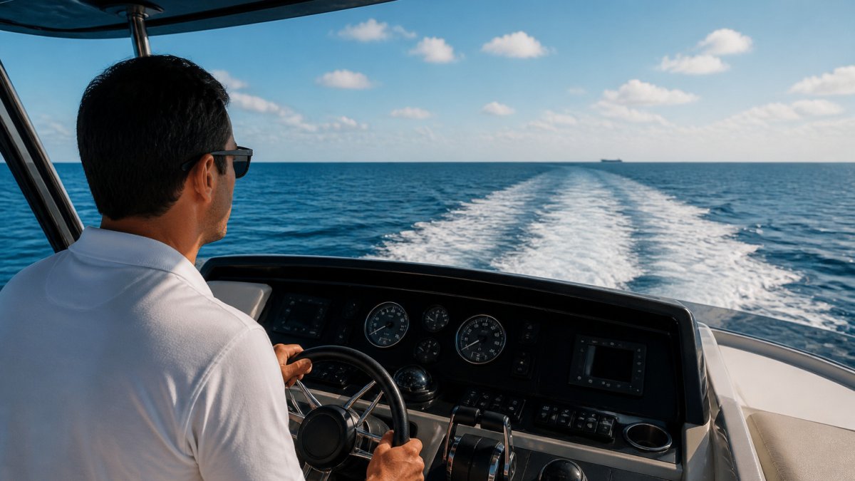
To estimate usable range, start with total fuel capacity, subtract a reserve of at least 25 percent for weather and detours, and then divide by your expected burn rate. A yacht that advertises 400 nautical miles may give you a usable figure well under that once the reserve is set aside.
A common mistake is planning to run the tanks close to empty. Keep the reserve, and give yourself room to change course.
Fuel Burn at Different Speeds and Yacht Sizes
Fuel burn rises steeply with speed. A motor yacht cruising efficiently burns far less per mile than one running at top speed. The difference grows with hull size, so a larger motor yacht carries more fuel but also burns more to move.
Ask for the manufacturer's fuel curve for the specific model. Those charts show burn per hour at several speeds and give a far better basis for planning than a single headline number.
Yacht Fuel Reserve Planning for Open-Water Passages
Reserve planning is the step that protects your crossing, and it is where a paper range figure and a real-world range figure part company. A yacht that advertises 400 nautical miles of range at an economical cruise will not deliver 400 miles on a choppy day with a full complement of guests, the generator running, and a head sea slowing you down. The practical exercise is to work from usable fuel, not advertised range.
Here is a worked example using representative figures for a mid-size motor yacht. These are illustrative numbers to show the method, not a specification for any particular boat.
- Start with usable fuel. A yacht with a 600-gallon tank should not plan to burn all 600.
- Set your reserve before anything else. A planning reserve held back for weather, detours, and holding off an inlet should be sized before the passage is planned.
- Apply your burn rate at the speed you will actually run. If the yacht burns about 40 gallons per hour at a comfortable cruise, the planned fuel supports roughly 9.8 hours underway.
- Convert hours to distance at that speed. At 20 knots, 9.8 hours is about 196 nautical miles of planned range with the reserve intact. That comfortably covers a Miami to Bimini round trip and a Nassau run one way, but it does not cover a Miami to Exumas passage without refueling.
Run the same yacht at a faster cruise and the picture changes quickly. Fuel burn rises steeply with speed, so a boat that burns 40 gallons per hour at 20 knots may burn 60 or more at 28 knots. The faster you go, the shorter the range, even though the trip takes less time. This is why the manufacturer's fuel curve, which shows burn per hour at several speeds, is a far better planning tool than a single headline range number.
Several factors can erode usable range on a Bahamas crossing:
- Load. Full tanks, water, provisions, tenders, and a full guest list all add weight and raise burn.
- Sea state. Head seas slow the boat and force more throttle to hold speed, raising consumption per mile.
- Current. The Gulf Stream can set a yacht north or push against it; a crossing that fights current takes longer and burns more.
- Generator and hotel load. Air conditioning, refrigeration, and electronics draw fuel over a long day, and that draw is easy to forget in the math.
- Hull condition. A fouled bottom or running gear adds drag and cost on every mile.
A clear distinction is worth making here: a Bahamas crossing is not an Atlantic crossing. The passage is short enough that many motor yachts can complete it comfortably, but short does not mean forgiving. The same reserve discipline that governs an ocean passage still applies, because the Florida Straits are open water with limited shelter and weather that can build faster than a forecast suggests.
Keep the numbers on paper for the captain and the owner's representative. Clear figures make the go/no-go decision easier and give everyone a shared line below which the yacht turns back rather than presses on.
Watch out: planning to arrive with tanks near empty to save weight is a false economy on this route. The reserve exists precisely for the day the weather turns and the shortest route home is no longer the safest one.
Bahamas Crossing Weather and Sea Conditions
Weather decides more crossings than any other factor. Winds opposing the Gulf Stream can build steep, uncomfortable seas in a short time, even when the forecast looked calm the day before. Check marine forecasts several times, including the morning of departure.
Sea state matters for comfort and fuel. Head seas slow a motor yacht and raise burn, while following seas can be easier but still demand attention. Plan a departure window with a margin, so that a delay does not force you to cross in poor conditions.
Consult the National Weather Service marine forecasts at National Weather Service marine forecasts before every crossing, and review boating safety guidance from U.S. Coast Guard boating safety resources.
Contingency Planning and the Go/No-Go Decision
Every crossing needs a go/no-go decision point. Set it before you leave the dock, with clear conditions that would trigger a delay or a return. Common triggers include wind over your limit, rising seas, a failed system or fuel running below your reserve line.
Contingency planning also means knowing your alternatives. Identify a nearby harbor or marina for a diversion, and confirm that your fuel and provisions can support a longer day if the crossing stretches. For guests who want a captain and crew to handle these decisions, our Bahamas Yacht Charters collection and our Private Yacht Charter Quotes service are a good place to start.
Speak with a YCN Yachts charter specialist to talk through contingencies and availability for your dates. You can request a tailored quote that reflects your route and group size.
Choosing a Yacht for Your Bahamas Crossing Next Step
Once you understand range, the next step is choosing a yacht that fits your route. Consider cruising speed, fuel capacity, reserve needs and the number of guests. A larger motor yacht may offer more comfort but also more fuel demand, so match the boat to the crossing rather than the other way around.
If you are weighing options, start with Bimini yacht charters to see the available boats for a Miami-to-Bimini run. You can also read Buying a Yacht for Bahamas Crossings: What to Know for the broader decisions, or compare luxury yachts for Bahamas crossings side by side.
Our team at YCN Yachts can help you match a motor yacht to your range, route and dates. Contact YCN Miami to start planning your crossing with a charter specialist.
Frequently Asked Questions
What range does a motor yacht need to cross from Miami to the Bahamas?
The range you need is the crossing distance plus a reserve for weather, current and detours. Plan on usable fuel well above the direct distance at your planned cruising speed, and keep a margin you would be comfortable with if conditions turn against you. Verify exact distances and fuel figures with the yacht's captain before departure.
How much fuel reserve should a motor yacht carry for a Bahamas crossing?
A common planning approach is to hold a reserve large enough to cover the full passage plus a substantial margin, so that the yacht can still reach a safe harbor if speed drops or the crossing is delayed. The right reserve depends on the vessel, sea state and route.
Does a yacht's advertised range account for Gulf Stream conditions?
Advertised range is usually calculated in calm water at a set speed, so it does not reflect Gulf Stream current, head seas or chop. A crossing against the current burns more fuel and takes longer, which shortens effective range. Ask the captain how the advertised figure was measured and plan around the less favorable conditions you may actually encounter.
What weather and sea conditions should you check before a Bahamas crossing?
Check wind speed and direction, swell height, the forecast for the crossing window, and the Gulf Stream's behavior along your route. Strong winds opposing the current can build steep seas quickly, which slows the boat and increases fuel use. Use the forecast to set a go/no-go decision point before you leave the dock.















Leave a comment
This site is protected by hCaptcha and the hCaptcha Privacy Policy and Terms of Service apply.